Kanu Links
![]()
My Favorite Paddling Areas
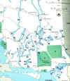
(click on map to enlarge the image)
The Spanish River (about 6 hours north of Toronto)
The Spanish River (click here for topo maps)
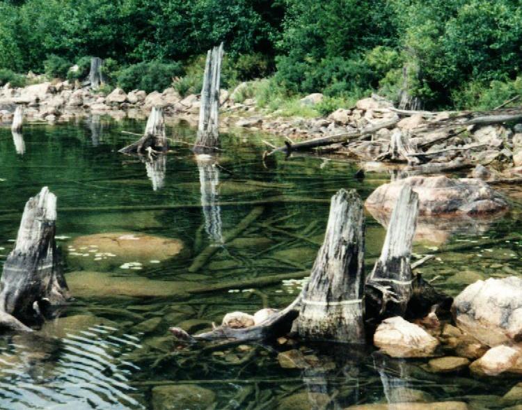
This river that gives you a chance to grow as you paddle. If you take the east branch, you start on a series of lakes that are connected by this trickle of water, advance on the lively current of the mid section, and end the trip on quite a respectable body of water. It starts in boreal coniferous forest and terminates in the mixed woods of the Great Lakes country. I have attached a description of a typical trip. Click here if you would like to join on a trip of the Spanish.A Side Trip that Explores the Country beyond the Spanish
Thissection was once a well used trail into the back country, but has been forgotten over the years. There's pretty good canoe country on both sides of the river; the side trip allows you to leave the Spanish and parallel it for while on clear lakes and rough portages that will reveal their secrets if you care to look. Click on the heading above for a route description, or click here for a trip log written by my paddling buddy Ed Fiander as we re-opened this forgotten route in 1997.
Spanish River West Branch (click here for topo maps)
This trip starts in Biscotasing (at some time the home of Grey Owl) and follows the outflow from the lake to the south-east towards the Forks of the Spanish River. It's less travelled,with fewer and smaller campsites than the east branch, and has the potential for an exciting white water trip if there is enough water. The water level of the river is controlled by Inco via the dam at Lake Biscotasi. You could call 1(705)682-5786 to get the current flow rate.
Creeks entering the Spanish River
Ever thought of paddling away from the main route? here are the Mogo, Bannerman Creek and Agnes RiverSpanish River Ancient Pine Forest Park
The Spanish River area deserves protection: see what the proposal of a new park in the area will mean exactly,
Temagami (Canoeing country at its best, 5
hours north of Toronto)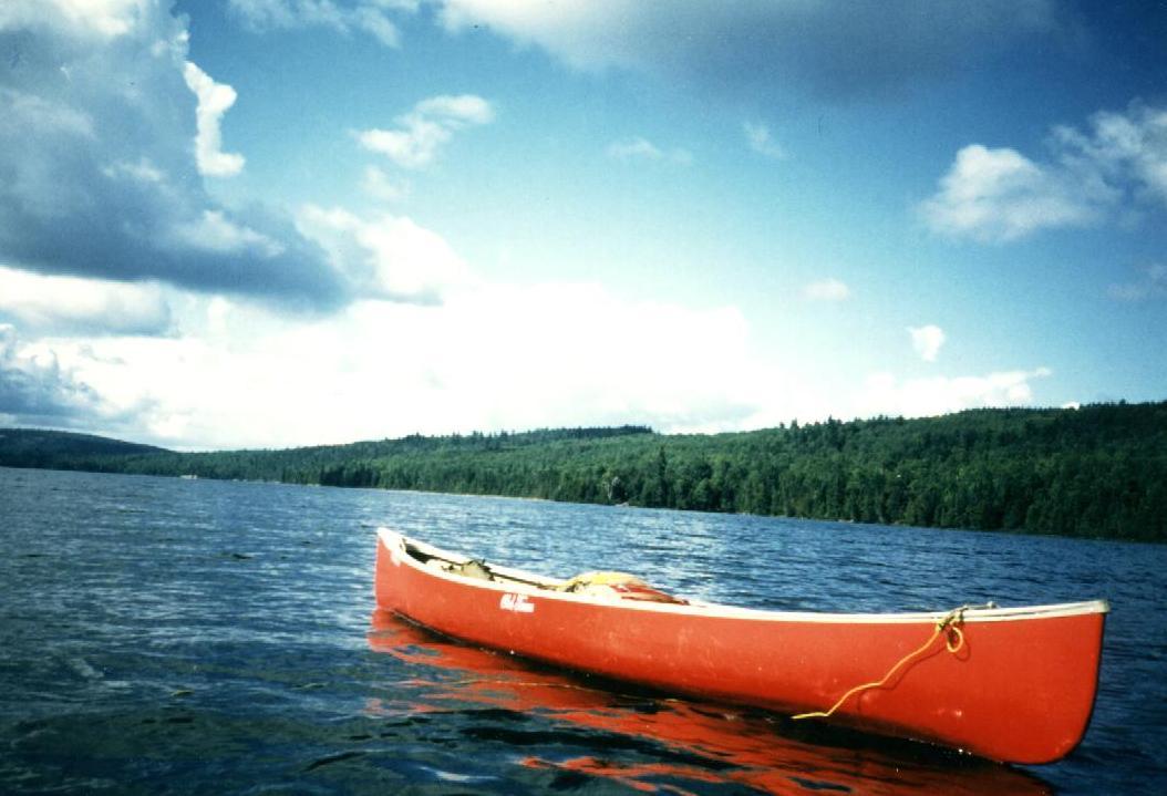
Ottertooth: The comprehensive website on Temagami
Obabika Loop, via Obabika River (Erhard)
A loop starting at Obabika Lake, proceeding down the Obabika River and returning via Wawiagama Lake. Click here if you want to come along on such a guided trip.
More canoeing in the Canadian Shield:
Mattagami (Erhard)
Missinaibi/Moose Rivers (Janis T. and Carolynn P.)
Wenebegon
Mattawa
French River (Erhard)
Algonquin Park (Margaret's website)
Killarney (Margaret's website)
Massassauga Provincial Park (Blair Caron's webpage)
Jim Hegyi's Pages, with trip stories that go beyond just paddling
Copyright (C) 1998 Canada Post
Disclaimer
The advice provided in Erhard's Kanu Links has been compiled based upon 30 years experience canoeing in Ontario. Every effort has been made to ensure that the advice in this web site is correct. Even so, I do not accept any responsibility for errors or misrepresentations contained herein.
WARNING! ![]() This advice is intended for use by those with some prior experience in camping,
canoe-tripping and backpacking. I do not assume responsibility for the safety of
individuals, nor do I accept liability for any loss or damages that might arise in the
course of following the advice presented in this web site.
This advice is intended for use by those with some prior experience in camping,
canoe-tripping and backpacking. I do not assume responsibility for the safety of
individuals, nor do I accept liability for any loss or damages that might arise in the
course of following the advice presented in this web site.
Click here to get to my canoe pages
Click here to get back to Erhard's Home Page