Kanu ![]() Links
Links
The LaVase Portages:
A collection of pictures
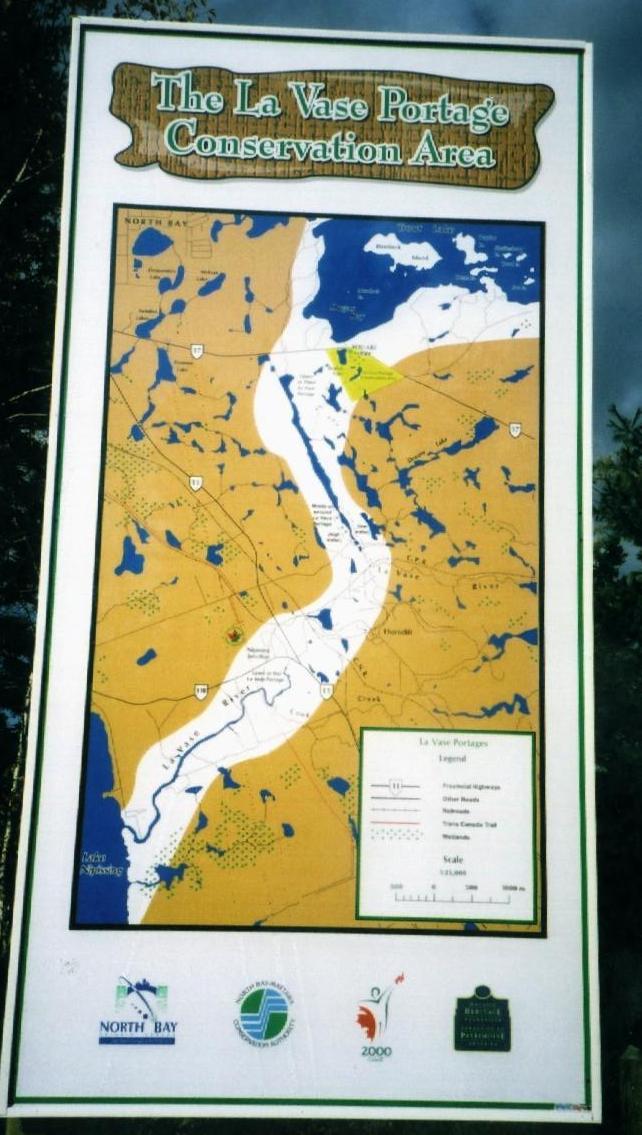
The Conservation Authority has managed to point out the significance of the LaVase route to the public at large. This map is at the parking lot beside Highway 17, at the put-in.
The images below will expand when you click on them.
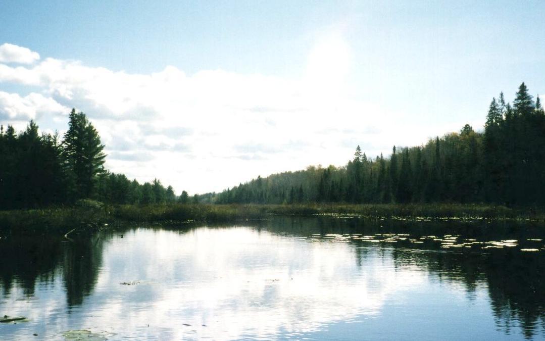 |
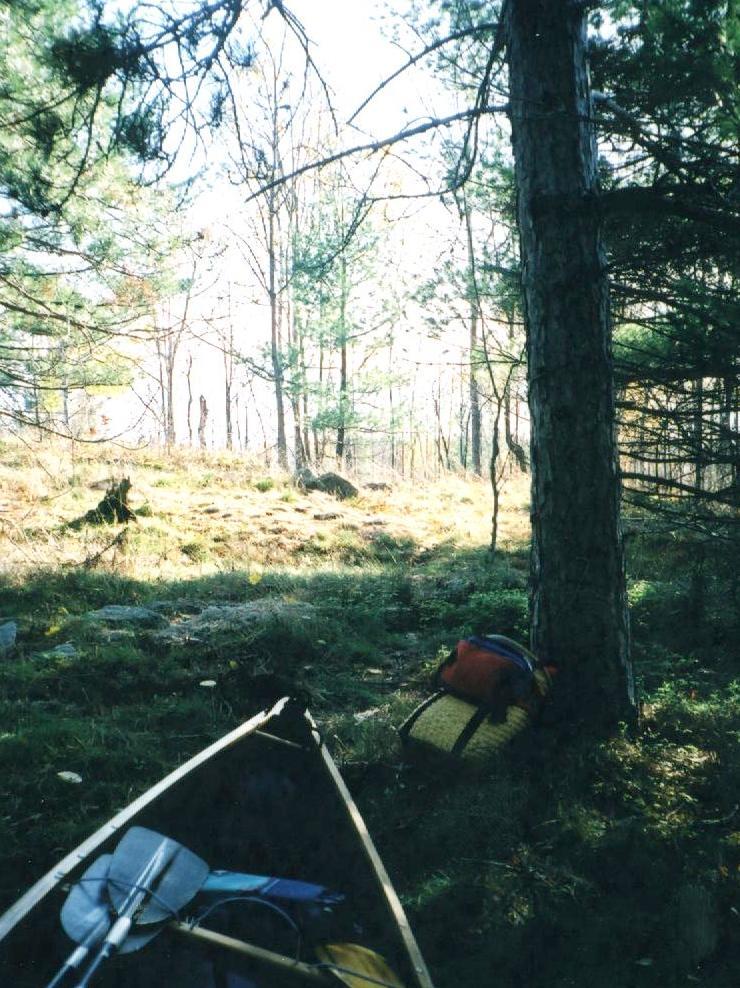
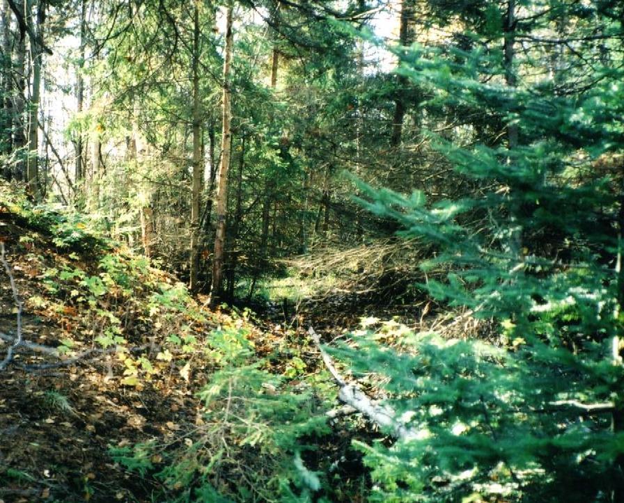
In its Northern portion, the route leads through intact nature: lakes, beaver activity, swamps and forests. | 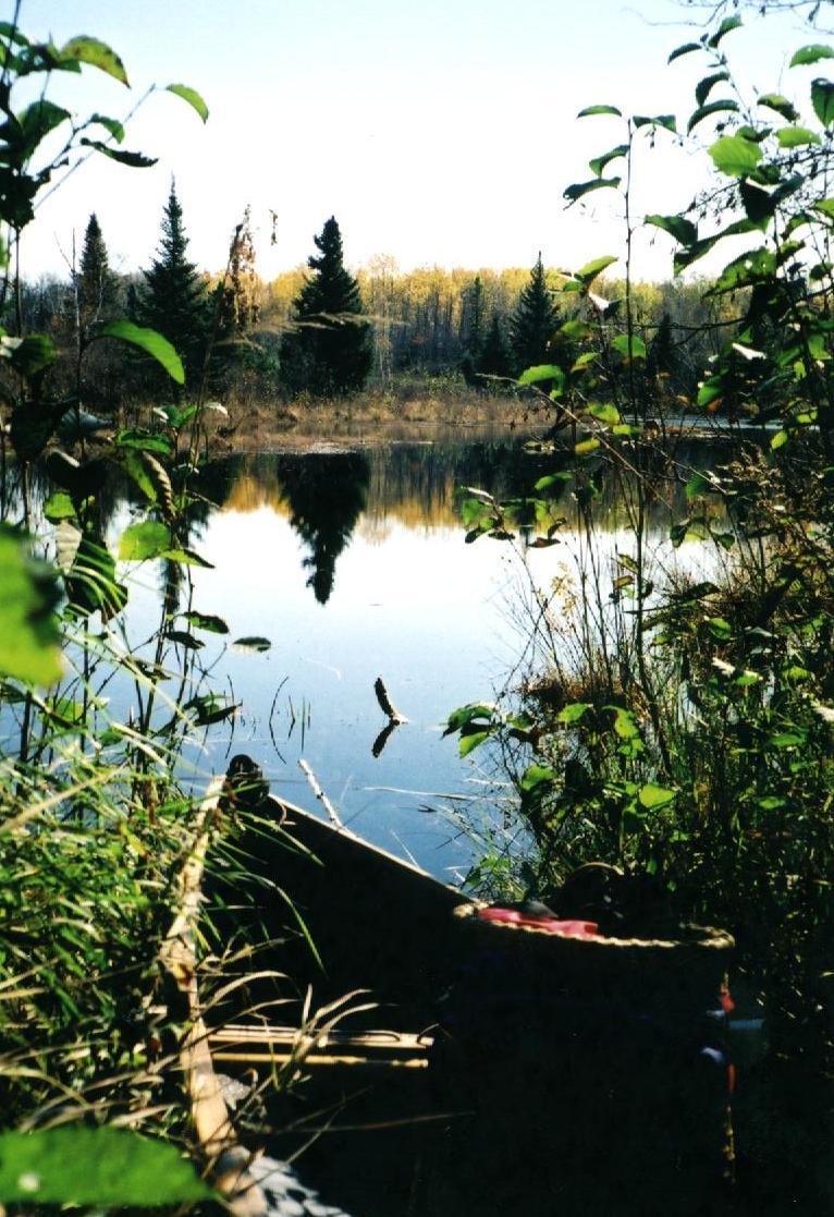 |
|
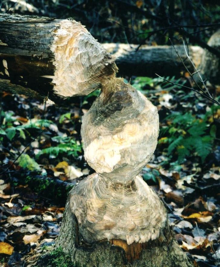
What an eager beaver left behind, and Paul, a photographer in North Bay, who knows the area and the old portages... | 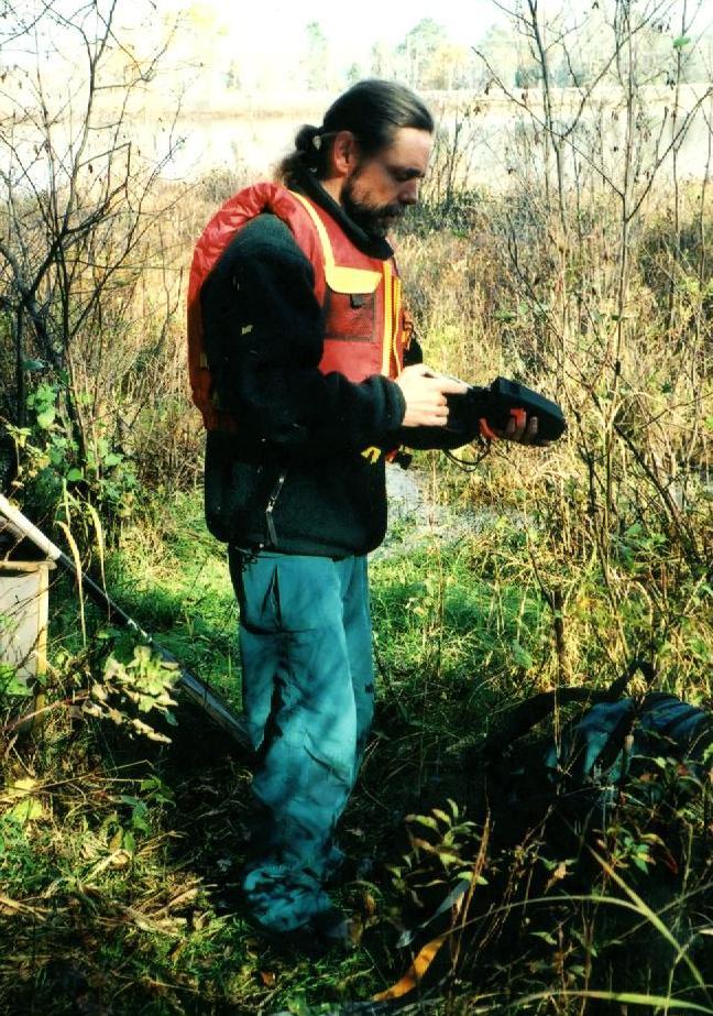 |
|
There are sections which have all the characteristics of a good travel route, like this trail just north of the railway. A bit further, one clambers down to and across the railway to re-launch at the La Vase river |  |
 |
....or overgrown like these sections | 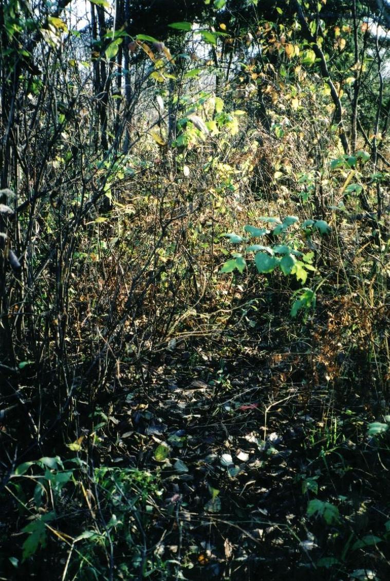 |
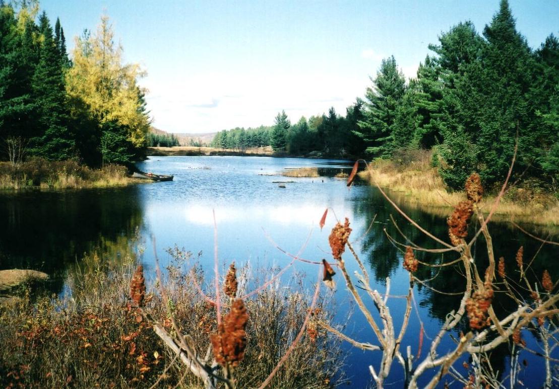 |
Open water alternates with boggy areas and forests. | 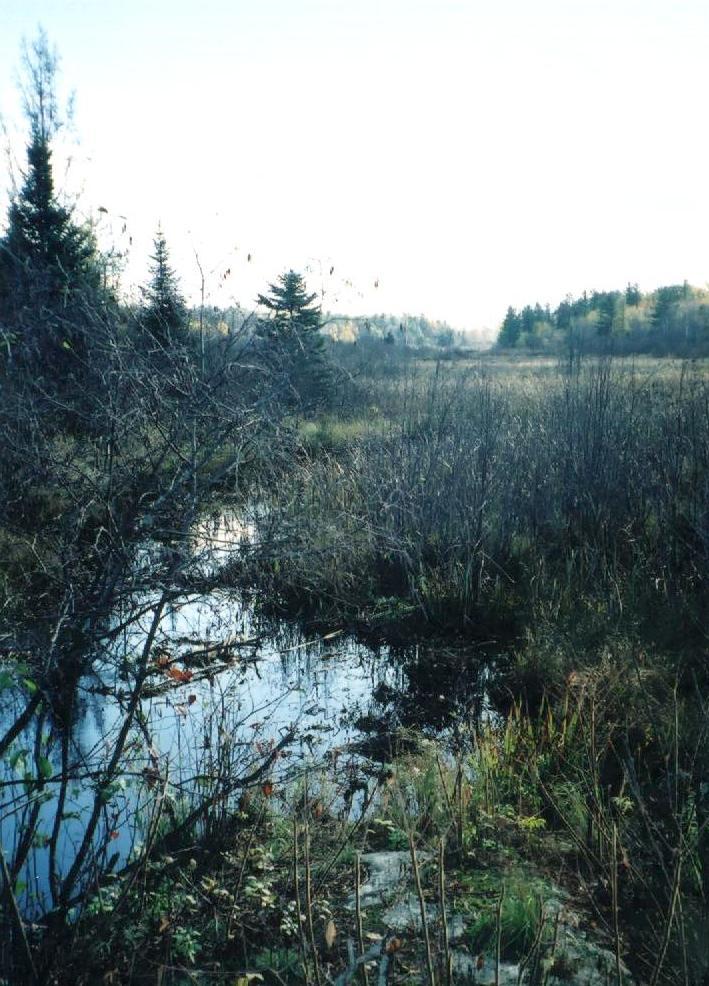 |
|
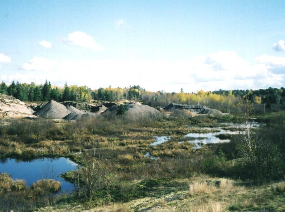
Near the river, industry has encroached. In the left image, the original portage led along the waters edge where the quarry is now. The photo was taken from today's trail, i.e. the portage is running through the woods on the other side of the swamp now. The railway in the right picture has to be crossed before one relaunches on the La Vase river. | 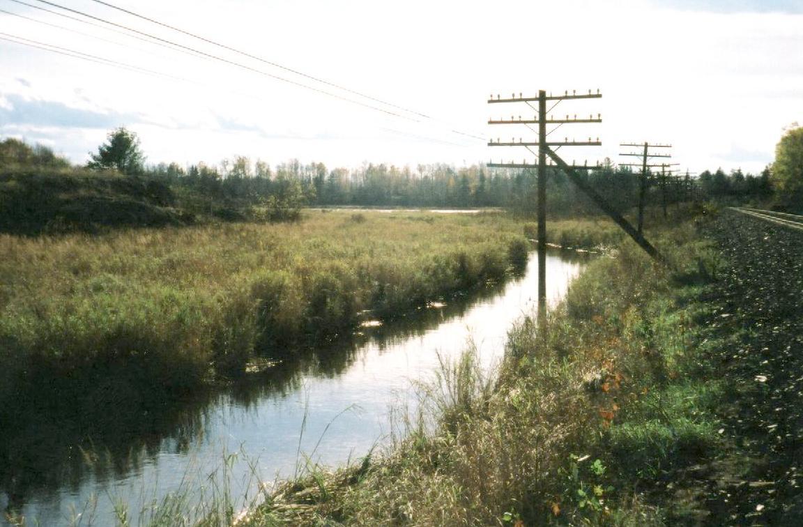 |